
NASA Tests GPS-Free Navigation System for Satellites
The Starling mission's FALCON system uses space debris as landmarks for autonomous deep-space positioning.
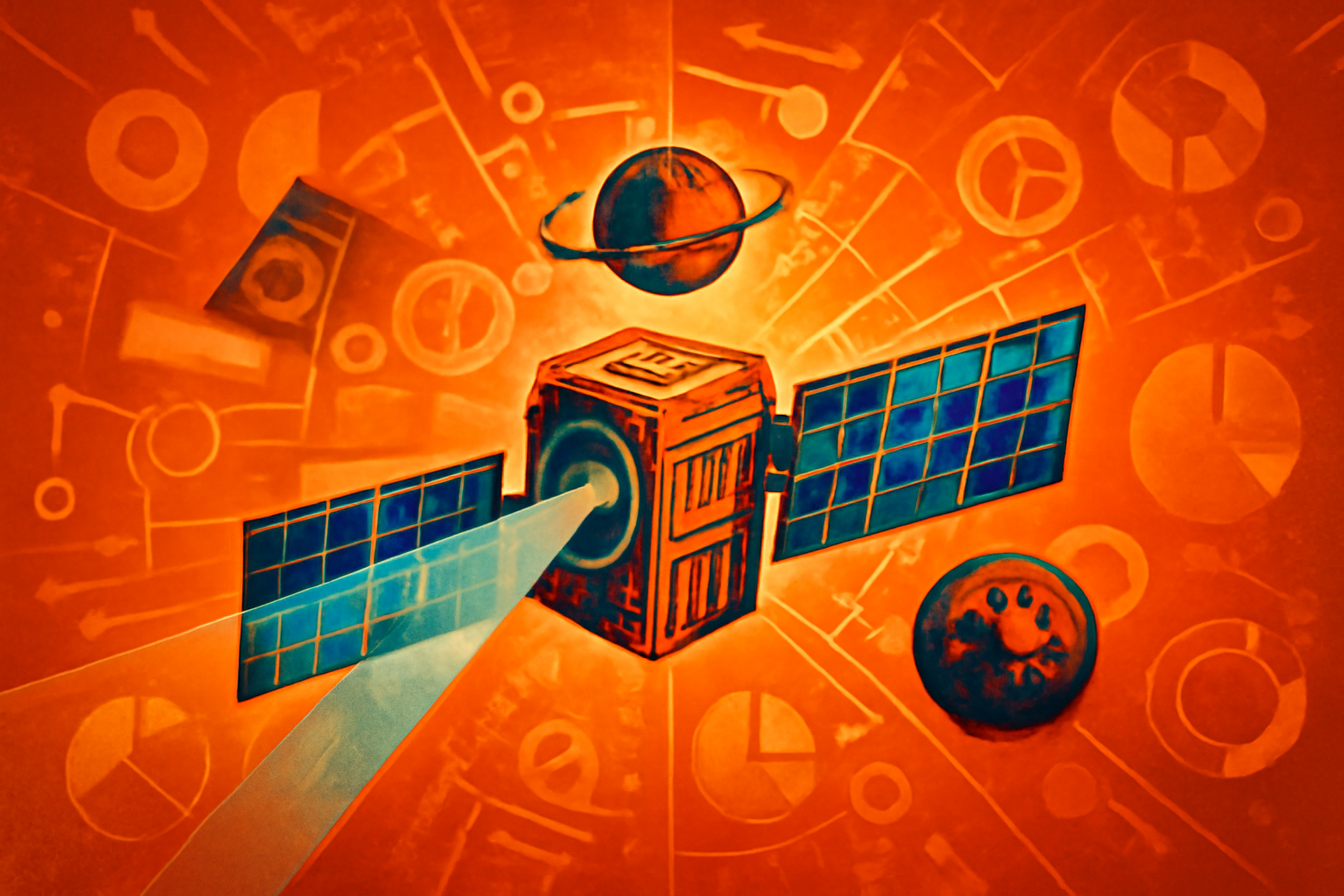
Digital illustration of a NASA Starling satellite using visual sensors to track a piece of space debris for autonomous navigation against a backdrop of deep space and the moon.
Photo: Kronos News
NASA's Starling mission successfully demonstrated the FALCON navigation system, which allows satellites to determine their position autonomously [1]. The technology uses other spacecraft and known space debris as visual landmarks instead of relying on traditional GPS signals [2]. This breakthrough provides a critical alternative for navigation in environments where GPS is unavailable or unreliable [3].
The FALCON system represents a significant step toward autonomous deep-space and lunar exploration [1]. By tracking nearby objects, satellites can maintain precise orbital data without constant ground support or external signals [2]. Researchers suggest this capability will be essential for managing future multi-satellite constellations in remote space regions [3].
Editorial notes
Transparency note
AI assisted drafting. Human edited and reviewed.
- AI assisted
- Yes
- Human review
- Yes
- Last updated
Risk assessment
Reviewed for sourcing quality and editorial consistency.
Sources
Related stories
View all


About the author
Kronos News Desk covers news and editorial analysis for Kronos News.